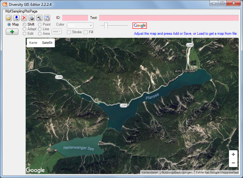
In Map mode the editor connects via Internet to the SNSB Google Maps service or
alternatively to the Open Street Maps service, regarding on the
GIS-Editor Settings,
and displays an online map which can be moved, zoomed and switched as usual.
The status area shows the
![]() or respectively the
or respectively the
![]() symbol. The size of the map area adapts to the size of the working area, even when
resizing the window.
symbol. The size of the map area adapts to the size of the working area, even when
resizing the window.
In case of Google the controls for moving, zooming and map type are displayed by default. The overview window in the bottom right corner can be switched manually. The map can be adjusted to the user's needs as follows:
In case of Open Street Maps the pan and zoom control is displayed by default. It
can be switched off or on by clicking the left mouse button anywhere within the
map area. The layer switch control is hidden and can be opened by pressing the
 or closed again by pressing the
 button on the right side. The map can be adjusted to the user's needs as follows:
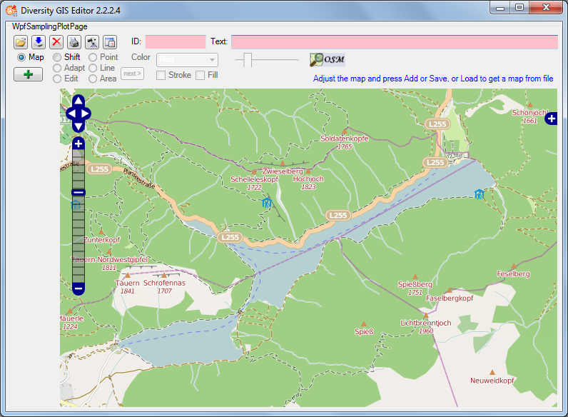
If an appropriate area has been selected, just press the Add button
,
then the area will be scanned and added to the Sample List as a reference
map. A little image of the map will appear on the toggle button in the Sample
List. The controls should be switched off before adding to get a neat map
image.
Then the mode will be switched to Shift mode automatically and the status symbol will
change to
![]() indicating that world coordinates are present. The screen and world coordinates
will be shown in the status lines if the mouse is moved over the map surface.
indicating that world coordinates are present. The screen and world coordinates
will be shown in the status lines if the mouse is moved over the map surface.
The maps are subject to the Mercator projection, which is the GIS Editor's precondition for every bitmap used as a reference map. While the screen coordinates are linear in horizontal and vertical direction, the world coordinates are non linear in vertical direction.