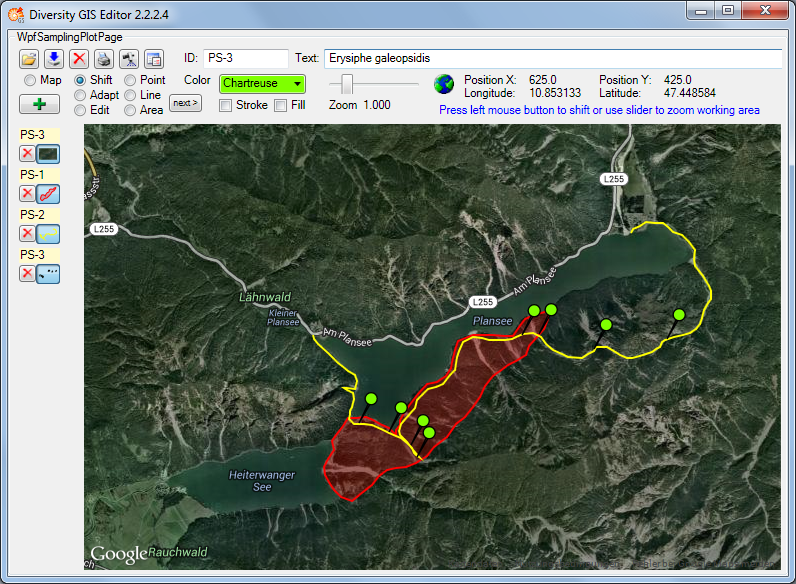
The Diversity GIS Editor is a tool to create, visualize, edit and archive samples within a geographical environment. It may be used as a stand-alone application or as a component of the Diversity Workbench by other applications, e.g. DiversityCollection or DiversitySamplingPlots.
In combination with a background map, equipped with world coordinates, collections of Microsoft SQL Geometry Objects (points, lines and areas) may be displayed and edited in their geographical context. The screen and world coordinates of the objects will be calculated and shown in the status line. Color, thickness and transparency of the elements can be adjusted. The working area which keeps the maps and objects may be shifted or zoomed.
The background map could either be loaded from a storage device or created with an online map server tool provided by the editor. Other maps without world coordinates may be adjusted to the background map easily by setting 3 pairs of reference points on the background and the new map. The calculated world coordinates will be assigned and stored when the new map is saved.
A GPS functionality has been integrated. If a GPS device is connected, the current position will be displayed and - if an applicable background map is loaded - marked on the map.
The data transfer between application and GIS editor is made by interface function calls. In that way geometry objects of a Diversity database may be loaded to the editor, modified or extended and sent back to the application, which then updates the data base.
